Hurricane Harvey Could Make Landfall Twice
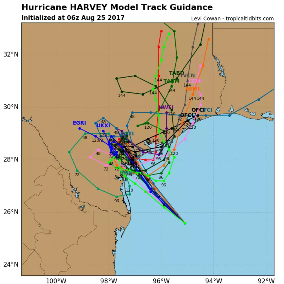
New models of the storm are showing it going back out to the Gulf Of Mexico to take a swing at Houston. This new possibility showed up on weather maps today, as the jet stream dips down, and take Hurricane Harvey for a ride back out to sea. This on top of the rain that parts of Houston will likely get, could really be the worst part of the storm.

Here in Deep East Texas, we could see more rain than we thought. This storm coming back anywhere from Houston to West Louisiana on Wednesday. But it's the number of possible evacuees that might be the most daunting.
Be prepared for the storm, here are some great resources for getting ready for anything that might happen. This is CNN's Hurricane Preparation page.
Great tips like being prepared for inland flooding, and having a family emergency plan if you were to get separated are key. Anything could happen, so making plans now to get everyone on the same page, and lots more can be found here at Ready.gov about Hurricanes.
We might not be getting the worst of this weather, but that is why we live here. We are close to the action, but not too close. But we are always close enough to help others so be mindful of the possibility.

More From K-Fox 95.5