It Has Begun…Historic Weather Events Underway in East Texas
First, the good news...next weekend in the Pineywoods, temperatures will be in the 60s with plenty of sunshine.
Now, the rest of the news.

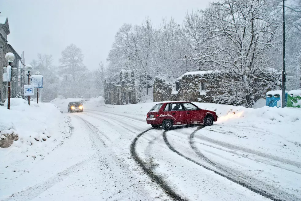
An historic series of winter weather events are unfolding across Deep East Texas. Over the course of the last week, I've been studying the various weather models and their predictions of how much ice and how much snow we should get across the region, not to mention just how cold it's going to get. At first, there was some wide variances in the forecasts, anywhere from a dusting of snow to up to a foot of snow were in play. Now, the models are pretty close to being in agreement with each other, so let's take a look at what they're predicting as well as how we should prepare with the icy onslaught.
We'll start with the CMC (Canadian-based) model, since they were almost spot on with the January winter storm that we had. Between now and Monday evening, they are forecasting that up to 5 inches of snow in the area should be a rather common amount. Heavier amounts will be expected closer to the Ark-La-Tex. The winter storm on Wednesday will be more of an ice than snow event.
The ECMWF (European-based) model is in close agreement with the CMC. Up to 4-5 inches of snow across the Pineywoods with heavier amounts to our north and across the northern Brazos Valley. Their model is also forecasting a significant sleet/freezing rain event by mid-week.
The GFS (product of the US National Weather Service) model is a little more aggressive with the snowfall amounts with their forecast showing Deep East Texas in line to receive up to 9 inches of snow from the first winter weather wave Sunday night and Monday. An addition inch or two could fall mid-week, but the GFS is also alerting residents of a possibly dangerous icy pattern on Wednesday.
For the record, the official forecast for the immediate Lufkin/Nacogdoches area from the National Weather Service in Shreveport is for periods of freezing rain, sleet, and snow through the day Sunday. Then, tonight and Monday morning will be the time period for the heaviest of the ice and especially snow, up to 6 inches. To add to the danger of traveling, a thin layer of ice may already be in place at the surface as the heavier snow begins to fall. This would make for extremely dangerous roads. TxDOT has already encouraged motorists to avoid travel on Sunday and Monday. The NWS is also forecasting a freezing rain/sleet event by Wednesday with heavier ice accumulations than what we're expecting through Monday.
The National Weather Services in Houston and Lake Charles are also predicting wintry weather in counties to the south and southeast of Lufkin/Nacogdoches. Snowfall amounts may not be as heavy in Livingston, Woodville, or Jasper, but nonetheless, a Winter Storm Warning is in effect for all of the eastern third of Texas all the way to the coast.
Oh, and lest we forget the bone-numbing cold that's on the way. A Hard Freeze Warning has been issued for tonight and tomorrow night with temperatures falling to the teens tonight and into the single digits Monday night. Temperatures this low are a major danger to pets, livestock, plants, and water pipes. Plus, a Wind Chill Advisory will be in place throughout most of Monday with 'feels-like' temperatures at or below zero.
Many areas across East Texas experienced power outages with our last snowstorm. The power outages across the area this time around could be more widespread given the fact that more sleet and freezing rain could be at play, especially with the heavier accumulations of ice that are expected with Wednesday's winter storm. With the high probability of widespread power outages, here are a few tips on preparing for that. Also, please keep the linemen and linewomen in your thoughts and prayers during this winter outbreak.
Kudos as well to the folks on the frontlines from the Texas Department of Transportation. They have already been busy laying down brine solutions to make travel safer. As of right now, areas of icy roads have not been reported in the immediate Lufkin/Nacogdoches area, but that could change very quickly with a passing area of freezing rain or sleet. Icy roads have been reported in the Crockett area and westward towards Bryan/College Station.
Between the cold, the snow, and the ice, this could be an historic week of winter across the Pineywoods, Please be safe, take necessary precautions, and try to avoid travel. Listen to KICKS 105 for updates and download the KICKS 105 App for alerts to be sent to your smartphone.

Snow Pics 2021
More From K-Fox 95.5