Weekend Downpours Could Bring Isolated Flooding to East Texas
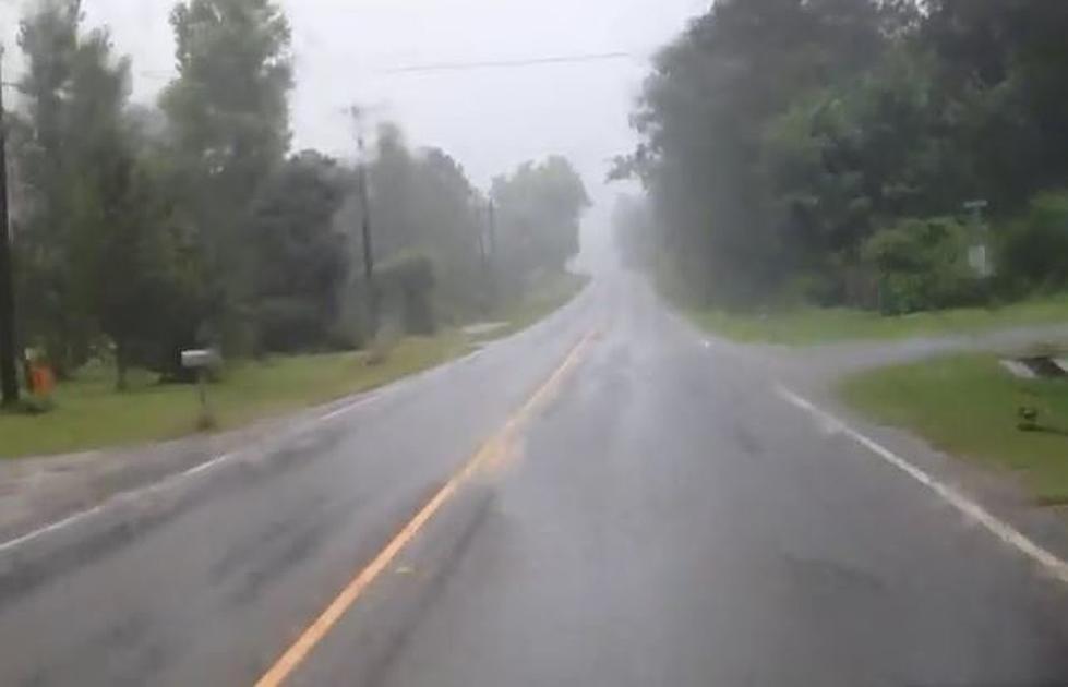
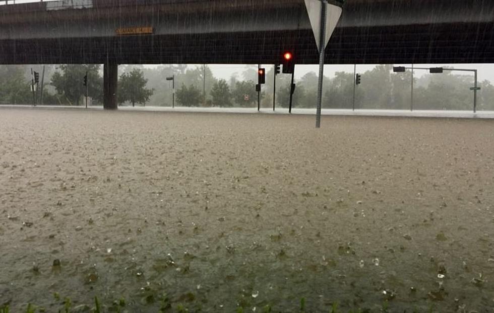
Over six inches of rain could fall in parts of east and southeast Texas this weekend. The National Weather Service in Houston is forecasting rain chances to start increasing throughout the day Friday, however, Saturday is the day when the heaviest of the downpours will occur. In fact, a Flash Flood Watch has already been put into for place for Saturday for the Houston Metro area, this includes Polk County. No other counties in East Texas are included in this watch.
Cumulative rainfall totals of 3 to 5 inches are expected to be rather common across all of East Texas before the end of the day Sunday. There could be higher totals, especially in the southern sections of Deep East Texas. Showers and thunderstorms are expected to increase in the area by Friday afternoon, however, Saturday is when we could see strong storms 'train' across the same cities and/or counties.
Severe storms cannot be ruled out this weekend, as well. The main threats from the strongest of the storms would be damaging straight line winds and hail, but an isolated tornado cannot be ruled out.
If you live in a flood prone area, now is the time to start thinking about an escape route should it come to that. If you're driving, remember the adage: 'Turn around, don't drown'.
Download our app to have weather bulletins sent to your smartphone.

More From K-Fox 95.5