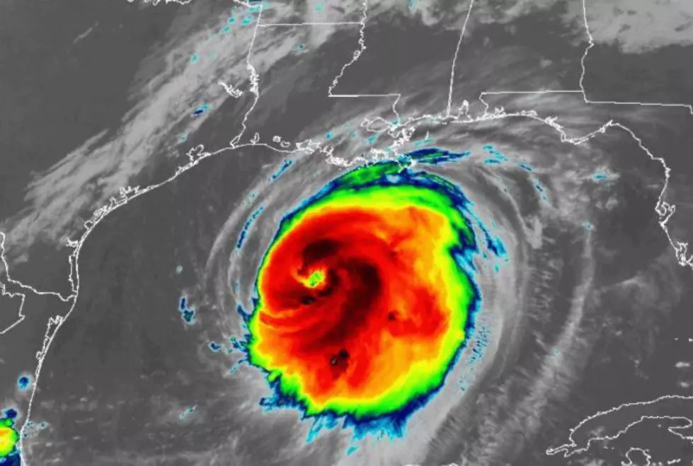
Laura Now Expected to Intensify to a Category 4 Hurricane
Hurricane Laura has intensified rapidly over night. As expected, favorable conditions in the central Gulf of Mexico has given the storm free reign to churn into a very well developed hurricane with top sustained winds of 110 mph (as of 4 am).
Forecasters at the National Hurricane Center now estimate that Laura could have sustained winds of 130 within the next 12-24 hours, making it a formidable Category 4 hurricane. However, Laura is expected to encounter some shear as it nears the Sabine Pass area late tonight, causing the storm to lose some punch and make landfall with top sustained winds of 120 mph (Cat 3).

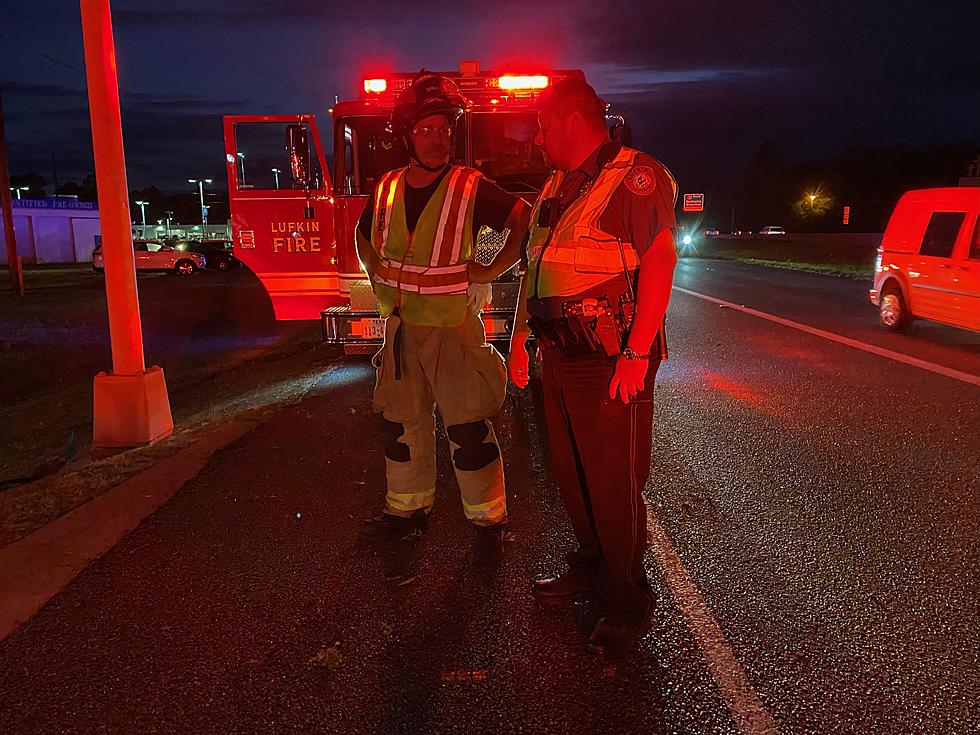
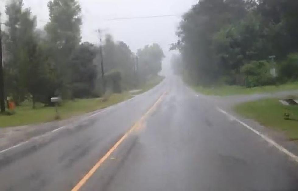
Hurricane Warnings remain in place for most of the Pineywoods including Lufkin and Nacogdoches. A Flash Flood Watch is also in effect for Deep East Texas through Friday evening.
Tropical storm winds are expected to be felt in Deep East Texas by late Wednesday evening and conditions will quickly deteriorate overnight in our area. Please stay in a sturdy place, preferably away from windows, and do not venture outside during the storm. Monitor KICKS 105 and our KICKS 105 app for updates.

More From K-Fox 95.5